Global Wind Belts
Remember from the warm-up activity of this section that waves are larger on the west coast of the U.S. than on the east coast. You saw how this is related to wind on the two coasts. What did you decide might be the connection between wind and wave size? You should have noticed that on the west coast, the wind is behind the waves, driving them and giving them more energy. But on the east coast, the wind is blowing against the waves, beating them down and diminishing their energy. This pattern of wind flow derives from the prevailing wind patterns on the globe.

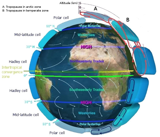
Temperature and pressure differences and the Coriolis effect create recognizable global wind patterns that are often predictable. You have learned that these winds are called the prevailing winds. They are found in specific belts around the globe, based on latitude. The map shows the locations of the prevailing winds, which are called the trade winds, Polar Easterlies and Westerlies. You can see that wind is deflected southwestward in the Northern Hemisphere and northwestward in the Southern Hemisphere. On the sides of the globe you also see convection cells, indicating how air flows in convection currents from warm areas to cool areas and back again. Click through the tabs below to learn more about the global wind belts.
Trade Winds

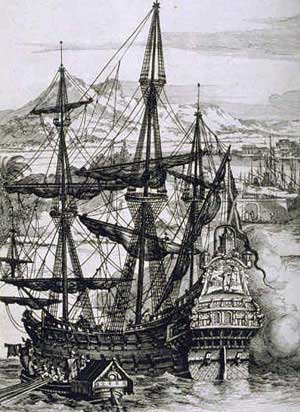
Trade wind is the movement of air from subtropical areas just north and south of the equator toward the equator. Note that they are named for the direction FROM which they blow. They move in response to pressure differences. Warm moist air sits above the equator because it has greater solar heating. The warm equatorial air has lower air pressure than the subtropical air, and air will always move from higher pressure to lower pressure areas. The warm air at the equator rises and would flow directly toward the poles except that the Coriolis effect deflects it in the subtropical areas.
Westerlies

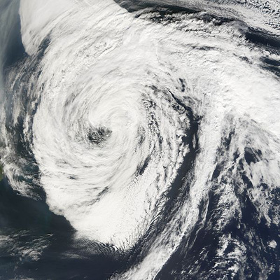
The Westerlies are winds that blow from high pressure areas at about 30° latitude north and south to low pressure areas at about 60° north and south. The name comes from the fact that they blow from the west. This belt that makes up the subtropical areas just north and south of the equator is characterized by dry descending air. Many places on Earth in this area are desert ecosystems. The Westerlies form many of the strongest winds on Earth and are responsible for hurricanes that develop over the oceans and sometimes make their way to land.
Polar Easterlies
